How to get around toMexico City
In a city as immense and energetic as Mexico City, transportation is more than just a way to get from point A to point B. It is part of the experience. Whether you are navigating historic avenues, exploring lesser-known neighborhoods or crossing town during rush hour, understanding how the city moves can transform your stay.
The capital offers one of the most comprehensive and cost-effective transit networks in Latin America. Once you know how to use it, the city reveals itself in unexpected and memorable ways.
Public and Alternative Transportation Options
Mexico City’s transportation network is vast, reliable and surprisingly accessible. With a combination of subway lines, surface transit, ride-sharing apps and bike-sharing programs, moving through the city is often easier than expected.
Metro
The metro is the city’s fastest and most affordable mode of transportation. With 12 lines and over 190 stations, it connects most major districts and tourist attractions. A single ride costs just a few pesos, and trains run frequently from early morning to late evening. Stations are color-coded and marked clearly, though they can get crowded during rush hours. A rechargeable Metro card makes entry faster and can also be used on several other systems.
Metrobús and RTP Buses
For surface-level travel, Metrobús offers modern buses that run on exclusive lanes across the city’s main avenues. Lines 1, 2 and 7 are especially useful for visitors, linking neighborhoods like Polanco, Roma and the Historic Center. They are easy to navigate and relatively quick even during busy times.
RTP buses reach areas not covered by the metro or Metrobús. While not as intuitive for tourists, they provide essential connections to lesser-known neighborhoods. Route maps are available online or at major bus stops.
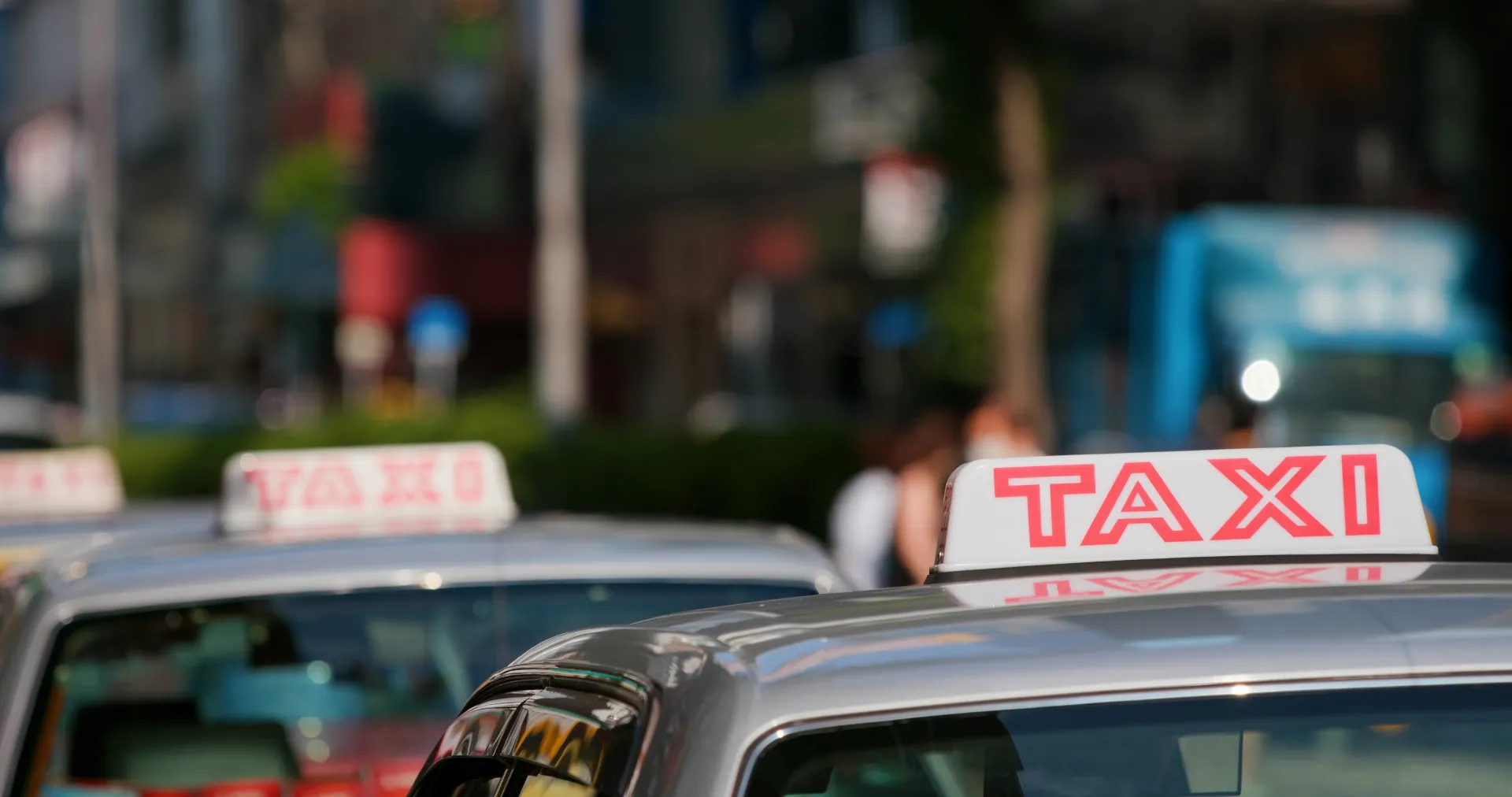
Ride-Sharing and Taxis
While taxis are common, ride-sharing services like Uber and Didi are the preferred choice for many locals and travelers. They are affordable, trackable and reduce the need to negotiate fares. These apps are especially useful when heading to or from the airport or during late-night hours when public transport is limited. If you do use a street taxi, make sure it is a registered vehicle with official markings and a functioning meter.
Biking and Walking
EcoBici, the city’s public bike-sharing program, is a great option for short-distance travel in neighborhoods like Condesa, Roma and Polanco. With hundreds of docking stations and low-cost subscriptions, it promotes sustainable movement through bike-friendly areas.
Walking is also a highly recommended way to explore the city’s most vibrant districts. Sidewalks are wide in many areas, especially in the Historic Center, Coyoacán and Reforma. This is where you will encounter local life, street food stalls and public art at every corner.

Airport Transfers and Intercity Travel
Benito Juárez International Airport is located close to downtown and offers several transit options. The metro (Line 5), Metrobús (Line 4) and ride-sharing apps all provide direct access. Ride-sharing is often the most comfortable and secure choice, particularly when traveling with luggage.
For trips outside the city, long-distance buses depart from terminals like TAPO, Norte, Sur and Observatorio. Destinations such as Teotihuacán, Puebla, Querétaro and Cuernavaca are easily accessible.
Smart Tips for a Smooth Ride
Avoid using public transportation late at night, especially if you are unfamiliar with the area. Plan routes in advance using apps like Google Maps or Moovit, and keep a small amount of cash for tickets or snacks. Traffic can be unpredictable, so allow extra time when heading to the airport or major events.
Getting around Mexico City is easier than it seems. Once you find your rhythm, transportation becomes more than a necessity. It becomes part of how you experience the city, its contrasts and its everyday life.